Construction
Disclaimer: As a commercial aerial services company certified by the FAA we capture aerial imagery. We do not provide Engineering, Surveying or Photogrammetry services that are regulated and require governmental licensing.
We do collaborate with Engineering, Surveying and Photogrammetry companies under their supervision to capture images for subsequent processing. We do not measure or interpret geographic information in order to create and update maps and charts for regional planning, education, emergency response, and other purposes.
The images we capture can be assembled to produce a variety of products. These assets may require governmental licensing to deliver.
Orthomosaic - Volumetrics, track assets, annotate maps, measure distance, area, and volume, or make notes for later reference.
NDVI - Precision Ag crop data, normalized difference vegetation index (NDVI) is a respected index for assessing vegetation health
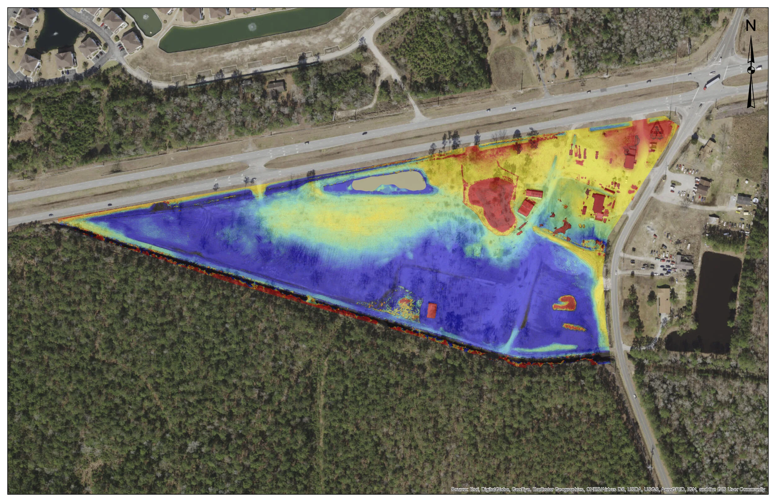
2D and 3D Models - Including elevation, digital surface and terrain models.
Whether it’s residential or commercial construction, let Precision Flyt help you manage your next project or allow us to inspect your structure from a different view – from our drone above!
We deliver a live view of your project on a daily, weekly or monthly basis. Utilizing our drones in the construction industry allows you to ensure that tasks are completed on time, take inventory of the site and materials and have record of specific installations. We use software that utilizes photogrammetry to produce detailed maps and models of the construction site.
Photo/Video Time Lapse
Mapping-2D/3D
Volumetric Measurements- Cut/Fill quantities, stock pile management
3D Modeling- create 3D models used to gain relative perspective and take measurements from photographs.
3D Model of Construction Site.
DSM(Digital Surface Model)


